- geobbsr@gmail.com
- 9438200113, 9937023241
Geo Spatial solution is a national leader in the provision, implementation and management of Spatio temporal data solution provider. Geo Spatial caters to diverse GPS, GIS, RS, HH survey, Research, Consultancy, Drone survey, professionalism and effectiveness, regardless of the technology or make-up of network at hand.
Geographical Information System (GIS): Fast growing trends in computer technology, information systems and virtual world enables to obtain data about physical and cultural worlds and to use it for research or to solve practical problems.
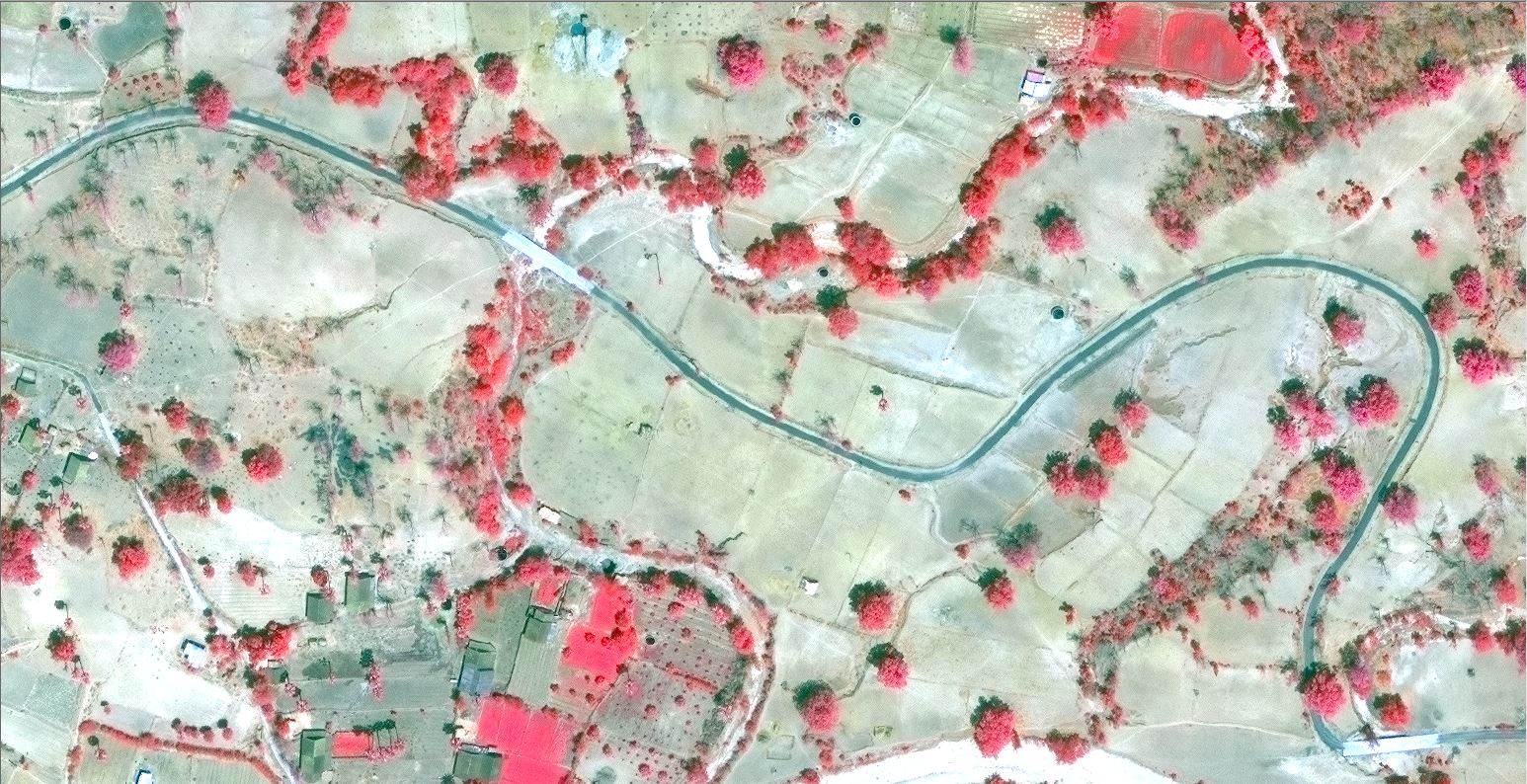
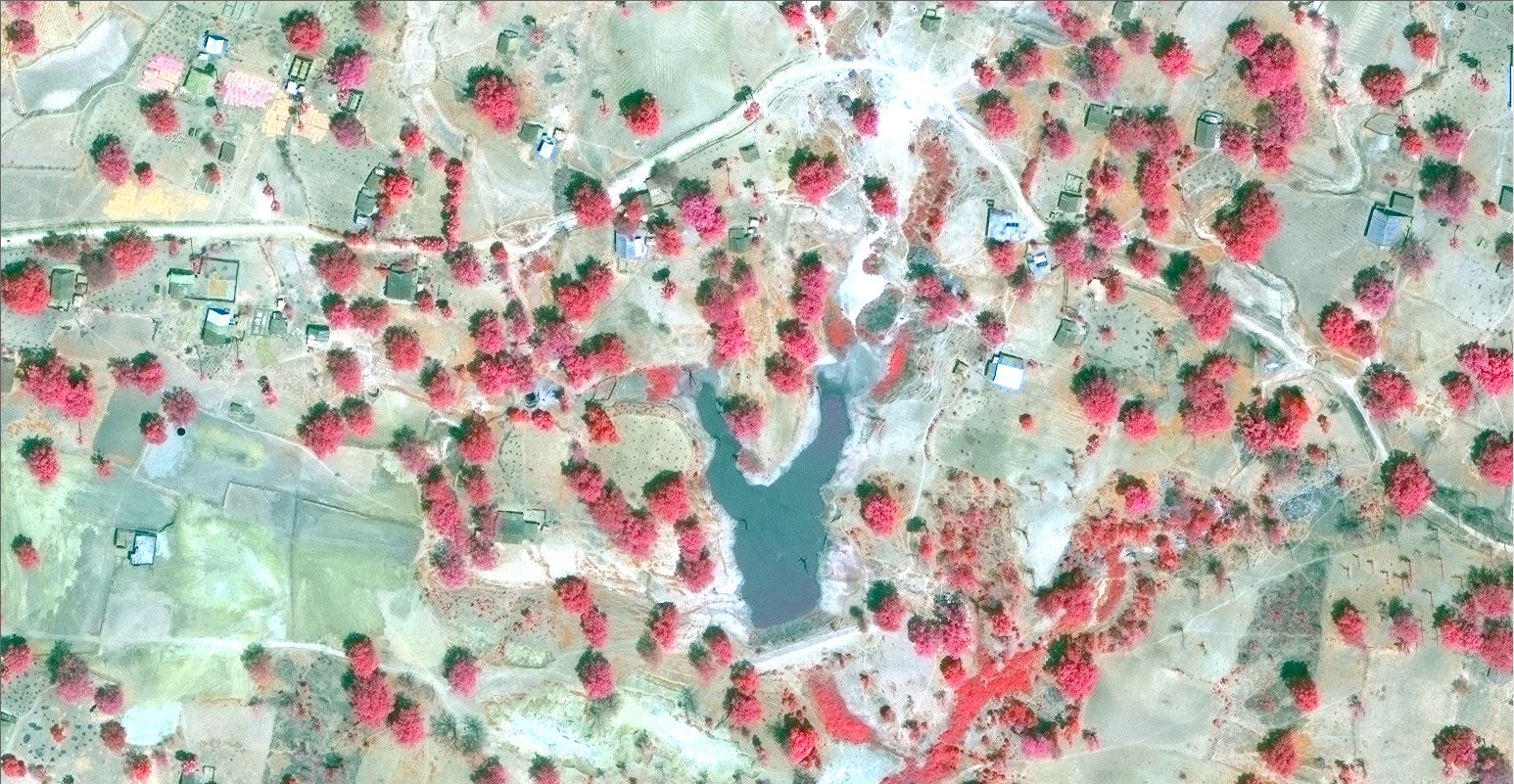
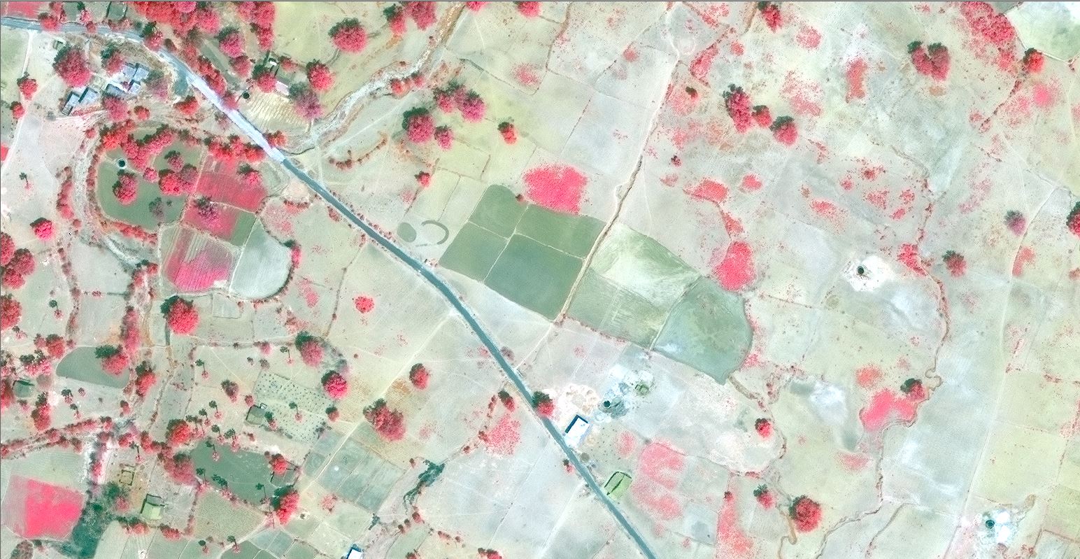
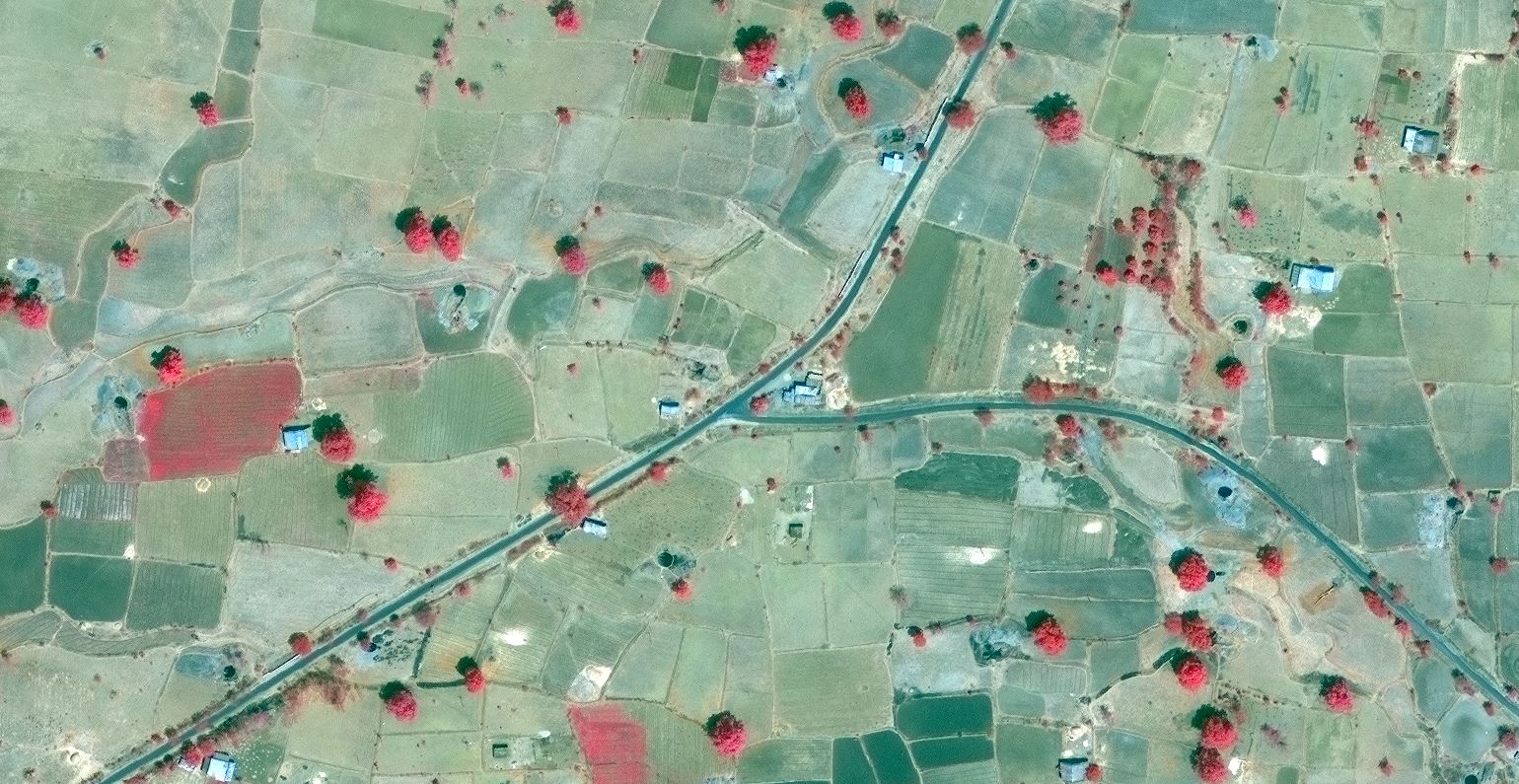
“Remote sensing is defined as the science and art of obtaining information about an object, area, or phenomenon through the analyses of data acquired by the sensor that is not in direct contact with the target of investigation”.
Global Positioning System (GPS): The Global Positioning System (GPS) is a burgeoning technology, which provides unequalled accuracy and flexibility of positioning for navigation, surveying and GIS data capture.
Focused Services with Highest Quality Standards
Cost effective Solutions at competitive pricing
Fast response time, Flexible work schedule and Timely delivery
Experienced project managers with Trained & Skilled operators
Multi-disciplinary consultants with varied project experiences
State-of-the-art in house infrastructure

Brief description of Expertise
Brief description of Expertise
Brief description of Expertise

Brief Description of project.Brief Description of project.Brief Description of project

Brief Description of project.Brief Description of project.Brief Description of project.

Brief Description of project.Brief Description of project.Brief Description of project