- geobbsr@gmail.com
- 9438200113, 9937023241
01
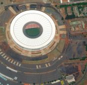
“Remote sensing is defined as the science and art of obtaining information about an object, area, or phenomenon through the analyses of data acquired by the sensor that is not in direct contact with the target of investigation”. This can be done by the use of either recording or real-time sensing device(s) mounted on aircraft, spacecraft, satellite, buoy, or ship. During last forty years, space travel has been giving humanity new opportunities, not only to peer into the depths of the cosmos, but also to look at the length and breadth of our own world. Remote sensing enables us to acquire information about a phenomenon, object or surface while at a distance from it.

02
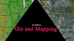
Geographical Information System (GIS): Fast growing trends in computer technology, information systems and virtual world enables to obtain data about physical and cultural worlds and to use it for research or to solve practical problems. The introduction of modern technologies has led to an increased use of computers and information technology instead of manual methods in all aspects of spatial data handling. These Information Systems contains data in analog or digital form about the phenomena in the real world and are able to create, manipulate, store and use spatial data much faster and at rapid rate as compared to conventional methods. Data is very important and added value as we progress from data to information to knowledge. The software technology used in this domain is geographic information systems (GIS). With the help of a GIS, different types of data can be stored in digital form.

03
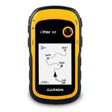
Global Positioning System (GPS): The Global Positioning System (GPS) is a burgeoning technology, which provides unequalled accuracy and flexibility of positioning for navigation, surveying and GIS data capture. The GPS provides continuous three-dimensional positioning 24 h/day throughout the world. The three dimentional nature of GPS measurements also allows us to determine horizontal as well as vertical displacement at the same time and place (Kalpan, 1996; Segall and Davis, 1997). The technology seems to be beneficiary to the GPS user community in terms of obtaining accurate data upto about100 meters for navigation, metre-level for mapping, and down to millimetre level for geodetic positioning. The GPS technology has tremendous amount of applications in GIS data collection, surveying, and mapping.
